| [ Login ]/[ Register ] |
 Search ::
  My Data Basket ::
  Favorite/My Favorite :: Recent Changes :: :: Login Save in Data Basket ]
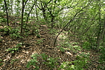
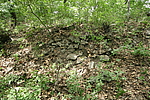
| Caption:ХэМвБЄзгГЄГЧ1ЖЮ Photo Time:2007-06-23 09:54:54 Photo Contributor:СЩФўЪЁЮФЮяОж [Open in New Window] |
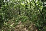
| Caption:ХэМвБЄзгГЄГЧ1ЖЮ Photo Time:2007-06-23 09:56:13 Photo Contributor:СЩФўЪЁЮФЮяОж [Open in New Window] |
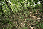
| Caption:ХэМвБЄзгГЄГЧ1ЖЮ Photo Time:2007-06-23 09:57:19 Photo Contributor:СЩФўЪЁЮФЮяОж [Open in New Window] |
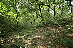
| Caption:ХэМвБЄзгГЄГЧ1ЖЮ Photo Time:2007-06-23 10:19:29 Photo Contributor:СЩФўЪЁЮФЮяОж [Open in New Window] |
| Caption:ХэМвБЄзгГЄГЧ1ЖЮ Photo Time:2007-06-23 10:29:27 Photo Contributor:СЩФўЪЁЮФЮяОж [Open in New Window] |